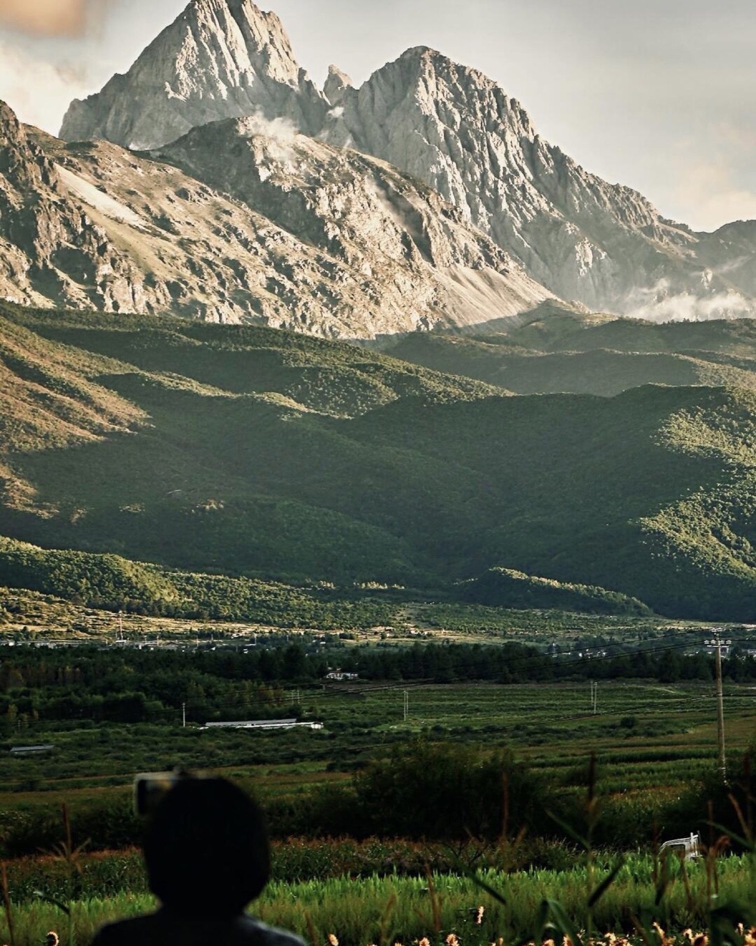
Everyone knows Tiger Leaping Gorge. It’s on every Yunnan list, every backpacker itinerary, every “top hikes in China” roundup — and it deserves to be. A thousand-metre-deep gorge with the Jinsha River tearing through it, snow peaks on both sides, and a trail carved into the cliff face that makes you forget you’re on a path and not inside a painting.
But here’s what most guides won’t tell you: Shangri-La hiking doesn’t end at the gorge. Tiger Leaping Gorge is the beginning of Shangri-La’s trail network, not the whole thing.
Within a few hours of Shangri-La town, there are sacred glacier lakes that turn five colours depending on the light. Multi-day treks through villages where Tibetan families still live entirely off the land. Trails that climb into the shadow of Meili Snow Mountain — the most sacred peak in Yunnan — where the only other people you’ll see are pilgrims. And day hikes through primordial forest so dense the canopy blocks out the sky.
Most of these trails don’t appear in English-language guides. Some require permits. A few close entirely in winter. All of them reward the traveller who looks past the gorge.
This is the guide to help you decide which ones are worth your time — and your legs.
When to go
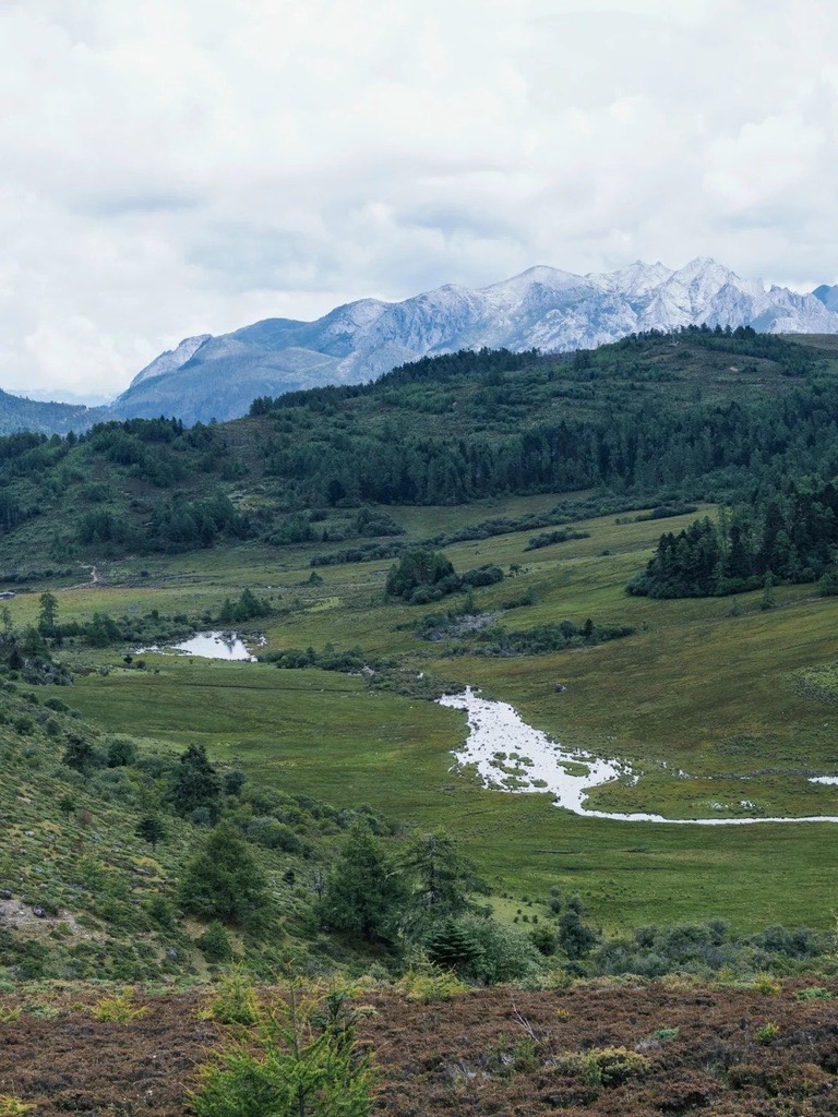
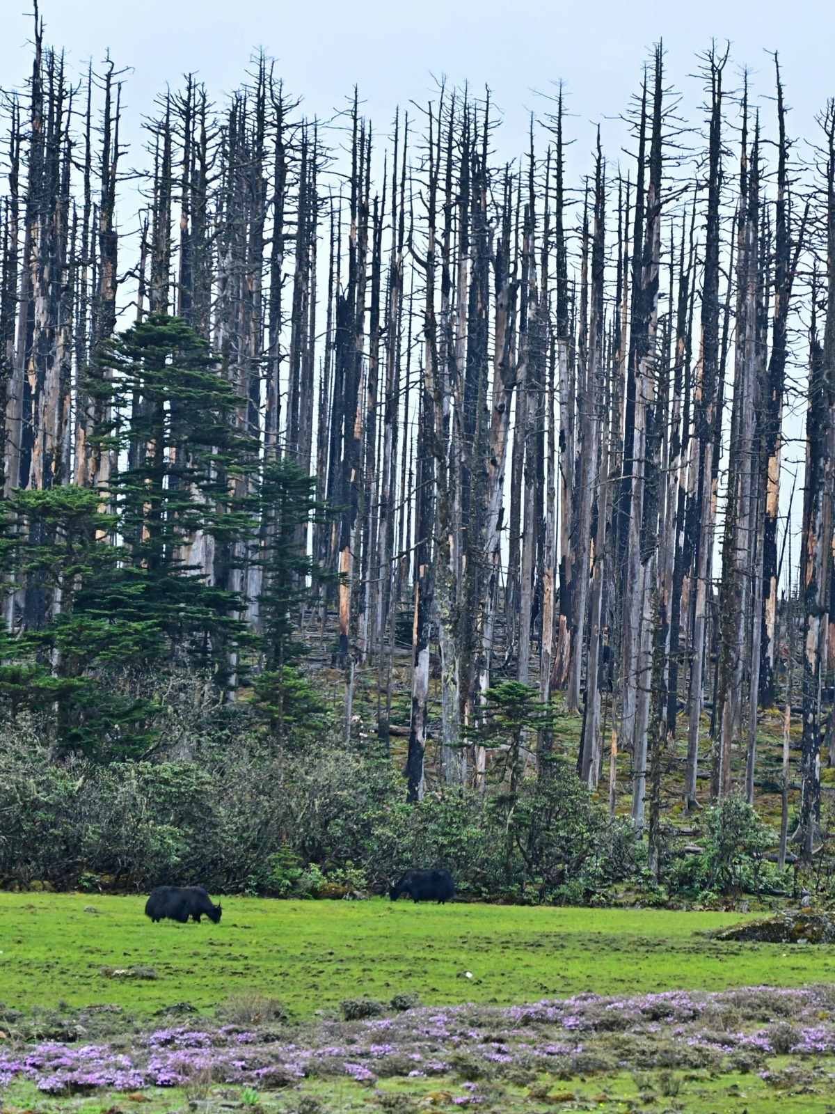
The hiking season runs May to October, with two sweet spots. Late May to June brings rhododendrons, snowmelt filling the lakes, and fewer crowds. Late September to October delivers autumn colour, clear skies, and the best light for photography. From November to March, most high-altitude trails close — only Yubeng and Kongque Mountain remain accessible year-round.
The Quick Comparison
| Trail | Dur. | Dist. | Difficulty | Best For |
|---|---|---|---|---|
| Yubeng (雨崩) | 3 days | 50 km | (3/5) | The classic — sacred waterfalls and glacier lakes beneath Meili Snow Mountain |
| Meili North Slope (梅里北坡) | 5 days | 50 km | (4/5) | Serious trekkers who want Kawagarbo’s glaciers without the crowds |
| Niru (尼汝) | 4 days | 60 km | (4/5) | Remote wilderness — the “First Village in Tibet” and high-altitude pastures |
| Abujicuo (阿布吉措) | 1 day | 20 km | (5/5) | The hardest day hike in the region — a sacred lake at punishing altitude |
| Haba Black Lake (哈巴黑海) | 2 days | 18 km | (4/5) | Alpine lake camping beneath Haba Snow Mountain |
| Bottomless Lake (无底湖) | 1 day | 10 km | (2/5) | Easy forest walk to a hidden emerald lake — great for non-hikers |
| Nanjiluo (南极洛) | 1 day | 10 km | (3/5) | Secret highland lake clusters and rhododendron meadows |
| Qianhu Mountain (千湖山) | 1 day | 10 km | (2/5) | Gentle plateau walk through the filming location of The Promise |
| Kongque Mountain (孔雀山) | 1 day | 8 km | (1/5) | The easiest option — Three Rivers confluence viewpoint, no fitness required |
The Meili Snow Mountain Treks
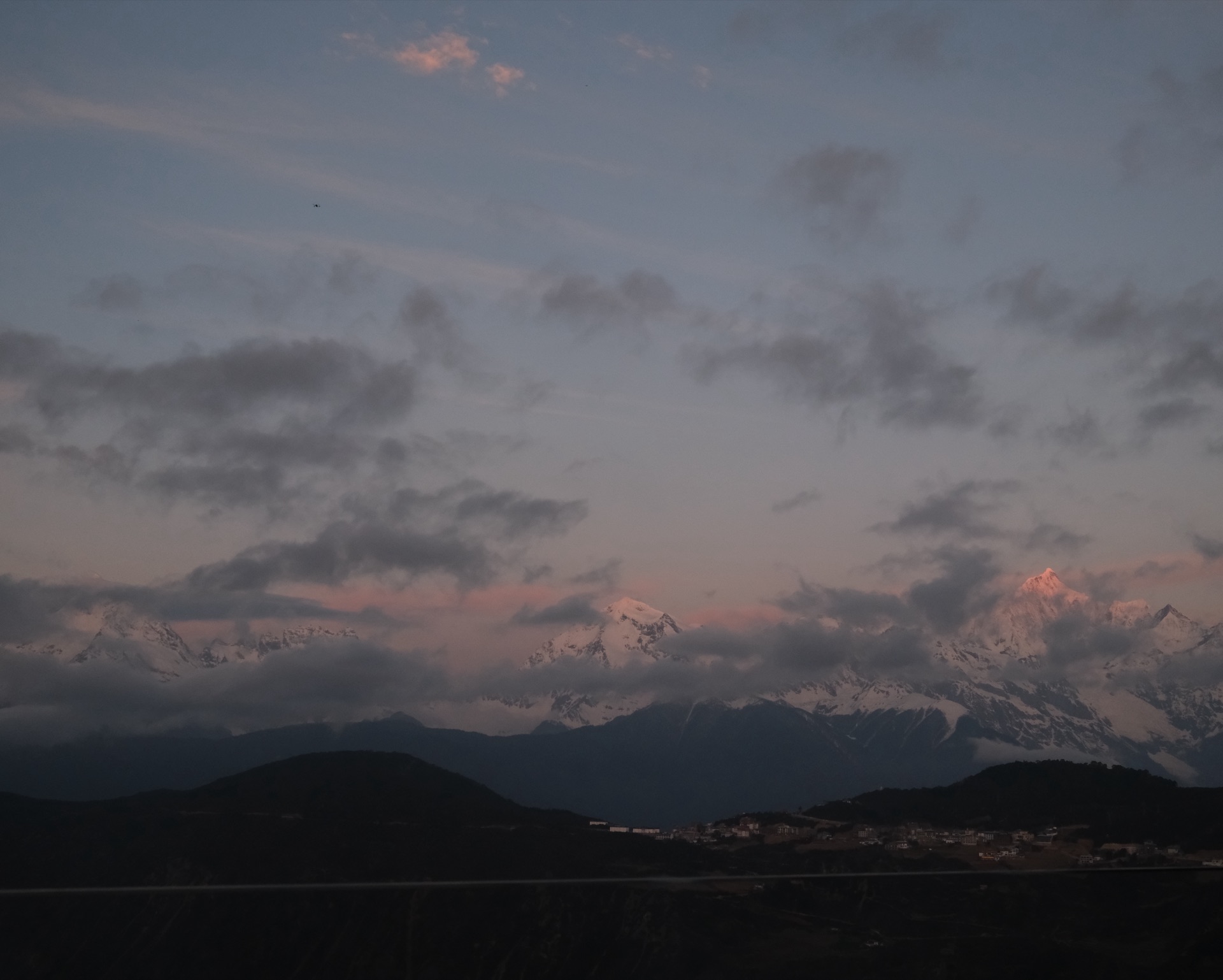
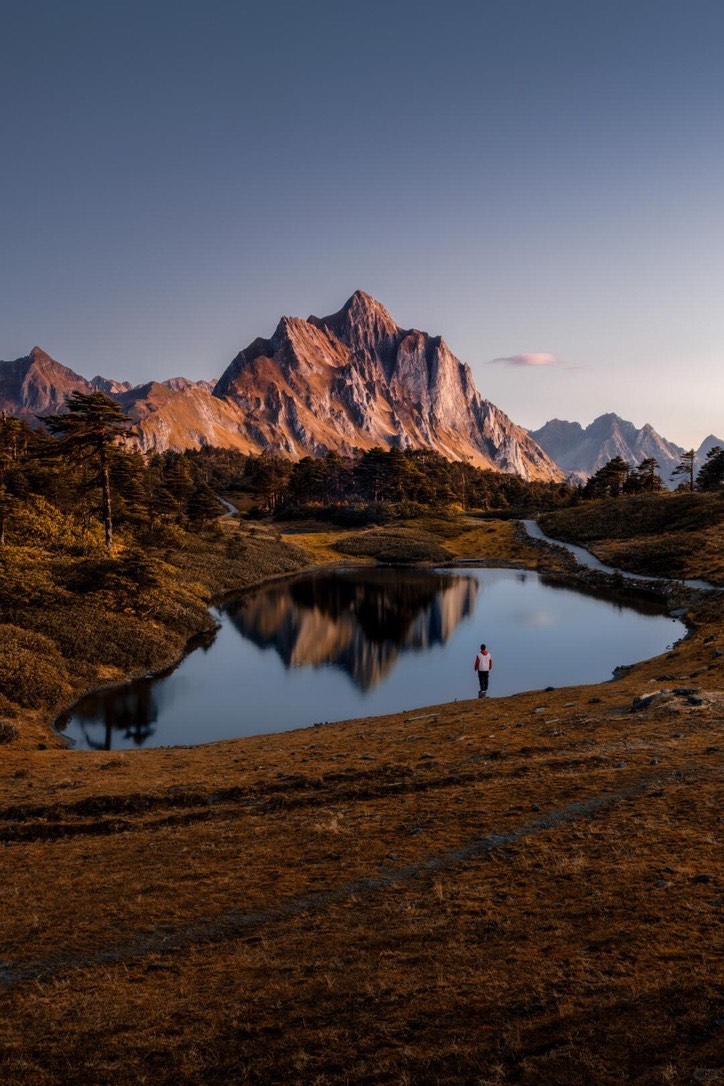
Meili Snow Mountain (梅里雪山) dominates the northwest corner of Shangri-La prefecture. Its highest peak, Kawagarbo (卡瓦格博) at 6,740 metres, has never been summited — the Tibetan communities around it consider any attempt sacrilege. It remains the highest unclimbed peak in Yunnan, and one of the most visually extraordinary mountains in China.
Two trails approach it from different angles. They offer completely different experiences. For the mountain itself — sunrise at Feilai Temple, the Deqin approach, where to stay — see our Meili Snow Mountain travel guide.
Yubeng (雨崩) — The Sacred Village Trek
3 days | 50 km | Difficulty: 3/5 | Altitude: 2,200–3,900 m
Yubeng is the hike that put Shangri-La trekking on the map for Chinese hikers — and it’s starting to filter through to international travellers. The village itself is car-free, reachable only on foot or by mule, and sits in a valley directly beneath Meili Snow Mountain’s glaciers. It feels like a place that time negotiated with and decided to leave alone.
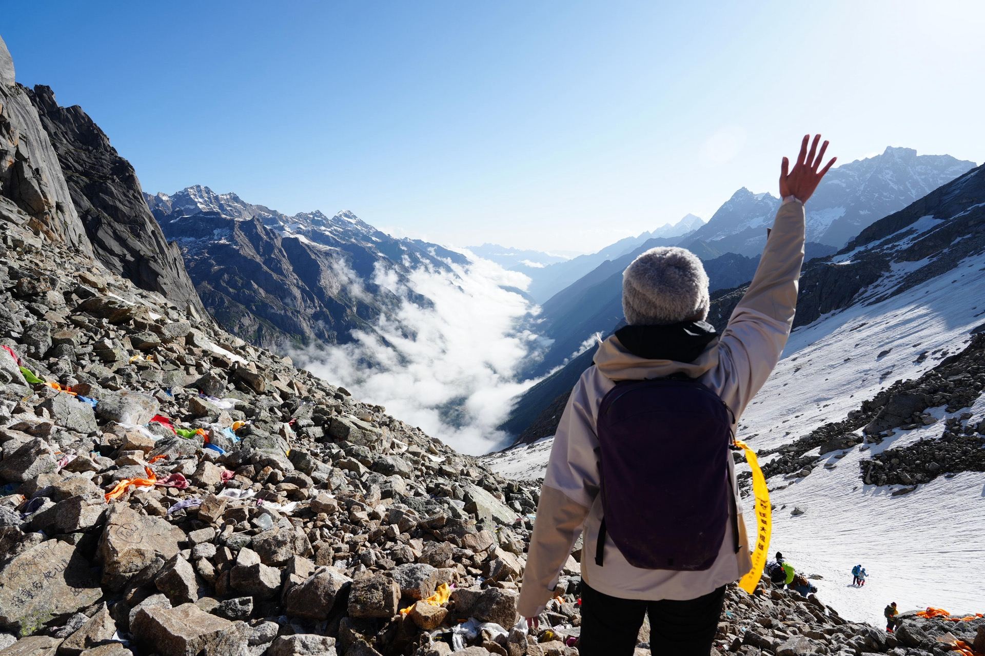
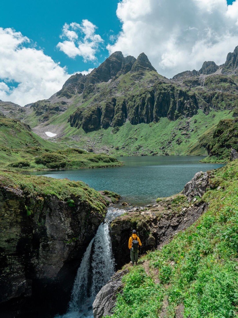
Most trekkers start from Xidang hot springs, cross Nanzhong Pass (3,729 m), and descend into Yubeng village. From there, day hikes reach the Sacred Waterfall (神瀑) — a pilgrimage site where Tibetans walk clockwise beneath the falling water — and the Ice Lake (冰湖), a glacier-fed pool at around 3,900 metres that sits in a rocky amphitheatre beneath the snow peaks.
The approach over Nanzhong Pass delivers the first unobstructed view of Meili’s glacier face. It stops people mid-stride. Yubeng village itself is a handful of Tibetan wooden houses in a meadow, with yaks grazing and prayer flags strung between trees. The Ice Lake is blue in a way that photographs don’t capture — the glacial mineral content creates a colour that looks artificial until you see it in person.
Drive from Shangri-La town to Feilai Temple (飞来寺) — about 4 hours — which is also the best sunrise viewpoint for the entire Meili range. Songtsam Meili and Poodom Meili are both excellent places to base the night before the trek. From Feilai Temple, drive another hour to Xidang, where the trail begins.
Moderately fit travellers who want a genuine multi-day trek without extreme altitude. The pass is the hardest section; the rest is manageable for anyone who walks regularly.
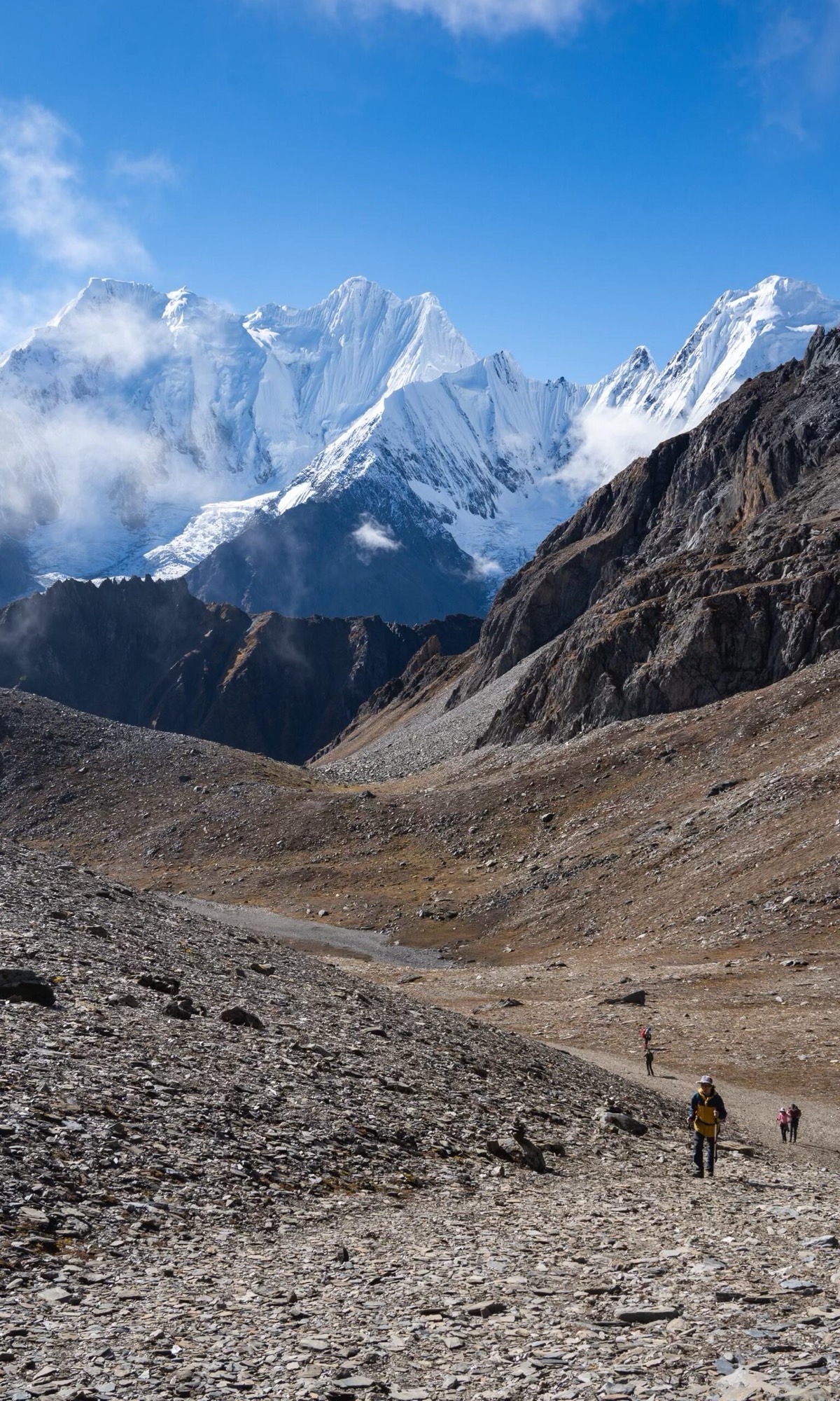
Meili North Slope (梅里北坡) — The Glacier Pilgrimage
5 days | 50 km | Difficulty: 4/5 | Altitude: 2,400–4,200 m
If Yubeng is the popular route, Meili North Slope is the one that serious trekkers talk about in smaller circles. It approaches Kawagarbo from the north, following ancient pilgrimage trails through dense forest and moraine fields to reach the Mingyong and Sinong glaciers — massive rivers of ice that descend from the peak’s northern face.
The trek begins near Deqin county and works its way through old-growth forest, across glacial moraines, and up to viewpoints where you’re standing face-to-face with Kawagarbo’s ice walls. The terrain is rougher and less maintained than Yubeng. No guesthouses mid-route — you’re camping.
Raw, unmediated glacier country. The ice formations on the north face are immense and constantly shifting. The forest sections are dense with rhododendrons that bloom in late spring. The scale of the landscape is the kind that makes you recalibrate what “big” means.
Same starting point as Yubeng — drive from Shangri-La to the Deqin area. Your trekking operator will arrange the specific trailhead access, which varies by season and conditions.
Experienced trekkers comfortable with camping, sustained altitude above 3,500 m, and trails that aren’t always clearly marked. You need a local guide — this isn’t a route to freelance.
The Deep Wilderness Treks
These trails take you further from the tourist circuit. Fewer people. Longer days. Bigger rewards.
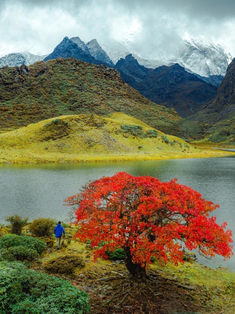
Niru (尼汝) — The First Village in Tibet
4 days | 60 km | Difficulty: 4/5 | Altitude: 2,800–4,300 m
Niru is what people imagine when they hear “Shangri-La” for the first time — before they learn it’s also a town with hotels and an airport. A remote Tibetan pastoral village surrounded by highland meadows, glacial lakes, and forests that have never been logged. The Chinese hiking community calls it “the first village in Tibet,” and the name fits.
A multi-day circuit through high pastures and over mountain passes, connecting a series of alpine lakes. The terrain shifts constantly — dense forest one hour, open meadow the next, then a climb to a pass where the view extends for what feels like the length of Yunnan. The trail passes through yak herding camps where families offer butter tea to passing trekkers.
The lakes are the headline — each one a different colour depending on mineral content and the angle of light. The meadows in late spring and summer are carpeted with wildflowers. Niru village itself is a living example of Tibetan pastoral life that hasn’t been packaged for visitors.
Drive east from Shangri-La town, approximately 3 hours on increasingly rural roads. The last stretch is unpaved. A local guide and driver are essential — there’s no signage in English and the roads are not on most maps.
Fit trekkers who want genuine remoteness. Four days in the backcountry with camping. Basic Mandarin or a guide who bridges the language gap is non-negotiable here.
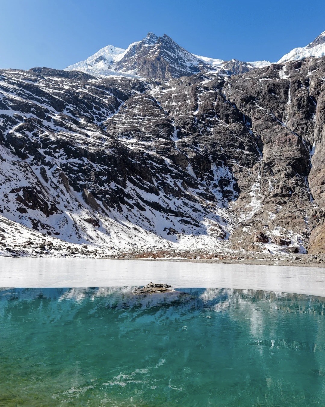
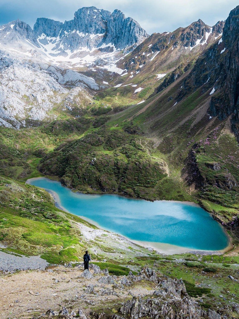
Abujicuo (阿布吉措) — Shangri-La’s Toughest Day Hike
1 day | 20 km | Difficulty: 5/5 | Altitude: 3,300–4,600 m
Abujicuo is a sacred lake that sits high above the treeline, roughly 20 kilometres return, with an elevation gain that punishes anyone who underestimates it. This is the hardest single-day hike in the Shangri-La region — not because the trail is technical, but because the altitude is relentless and the distance is long.
The trail climbs steadily from forest through rhododendron thickets, breaks above the treeline into rocky alpine terrain, and arrives at the lake — a body of water so still and so intensely coloured it looks like it was placed there deliberately. The return follows the same path, and by the time you’re back your legs will have earned every view.
The lake is the destination, and it delivers. Surrounded by scree slopes and snow-dusted ridges, it’s the kind of place where the silence is physical. On clear days, the reflections are mirror-perfect.
About 1.5 hours’ drive from Shangri-La town. The trailhead is not well-marked — go with someone who’s been before.
Strong hikers only. Twenty kilometres at altitude with significant elevation gain is no joke. If you haven’t hiked above 4,000 metres before, this isn’t the place to start.
Haba Black Lake (哈巴黑海)
2 days | 18 km | Difficulty: 4/5 | Altitude: 2,600–4,100 m
Haba Snow Mountain (哈巴雪山) sits across the gorge from Jade Dragon Snow Mountain near Lijiang. The Black Lake (黑海) is a high-altitude alpine lake on Haba’s flanks — dark, deep, ringed by scree and wildflowers, and virtually unvisited by international travellers.
A two-day trek with an overnight camp near the lake. The first day climbs through forest and meadow; the second reaches the lake and returns. The trail is steep in sections and the altitude above 3,800 m slows everything down.
Haba’s glaciers reflected in dark water. Alpine wildflower meadows in summer. A landscape that feels like the Himalayas condensed into a single valley. On clear days, you can see Jade Dragon Snow Mountain across the Jinsha River — the same river that carved Tiger Leaping Gorge between the two peaks.
Drive from Shangri-La toward Tiger Leaping Gorge, then branch south toward Haba village. About 3 hours. Haba village has basic guesthouse accommodation for the night before the trek.
Trekkers comfortable with camping, moderate scrambling, and sleeping at altitude. A local guide from Haba village is the standard approach — they know the mountain intimately.
Shangri-La Hiking for Every Level — The Day Trails
Not every trail here requires a tent and three days’ food. These hikes are all doable in a single day from Shangri-La town and range from gentle walks to moderate efforts.
Bottomless Lake (无底湖) — The Emerald Hidden in the Forest
1 day | 10 km | Difficulty: 2/5 | Altitude: 3,400–3,800 m
The name is local legend — the lake is said to have no bottom. The reality is a pristine glacial lake buried deep inside old-growth forest, its water a translucent emerald green that shifts toward turquoise in direct sunlight. It’s the kind of place that makes you understand why this region was named Shangri-La.
A well-shaded forest trail that climbs gently for about 5 kilometres to the lake. The path is soft underfoot — pine needles and moss — and the canopy keeps temperatures comfortable even in summer.
Primordial forest with trees that have been growing for centuries. The lake itself appears suddenly through a break in the trees — it’s smaller than you’d expect and more beautiful. The colour is real. The silence is complete.
About 2 hours’ drive east of Shangri-La town. The road is paved most of the way.
Anyone. Families, older travellers, people who want the Shangri-La highland experience without a serious physical commitment. The altitude is the only consideration — take it slow and you’ll be fine.
Nanjiluo (南极洛) — Highland Lakes and Rhododendron Seas
1 day | 10 km | Difficulty: 3/5 | Altitude: 3,500–4,100 m
Nanjiluo is a cluster of highland lakes surrounded by one of the most spectacular rhododendron forests in Yunnan. In late May and June, the slopes explode into colour — pinks, whites, purples — against a backdrop of snow-dusted peaks. Outside bloom season, the lakes themselves are the draw: scattered across a high plateau like pieces of sky that fell and stayed.
The trail winds through rhododendron forest and across alpine meadow, linking several lakes in a loose circuit. The terrain is uneven in places and the altitude sits above 3,500 m throughout, so pace yourself.
In rhododendron season, this is one of the most photogenic landscapes in Yunnan. The lakes range from mirror-still to wind-rippled, and each one reflects the surrounding peaks differently. It’s quiet in a way that most “scenic spots” in China are not.
Drive west from Shangri-La toward Weixi county, roughly 2.5 hours. The last section is unpaved.
Moderately fit travellers who enjoy photography and don’t mind a bit of altitude. Not technical, but the elevation gain earns its difficulty rating.
Qianhu Mountain (千湖山) — A Thousand Lakes on a Plateau
1 day | 10 km | Difficulty: 2/5 | Altitude: 3,800–4,200 m
Qianhu Mountain — literally “Thousand Lakes Mountain” — is a high-altitude plateau dotted with small glacial ponds. It was used as a filming location for Chen Kaige’s The Promise, and when you see it, you understand why: the landscape is otherworldly, open, and almost impossibly photogenic.
A gentle trail across the plateau, weaving between lakes and through patches of highland meadow. The walking itself is easy; the altitude does the work for you.
Dozens of small lakes reflecting enormous skies. In autumn, the surrounding grassland turns golden. In summer, wildflowers ring the lake edges. The scale is vast and the crowds are nonexistent.
About 2 hours’ drive southwest of Shangri-La town. Partially unpaved approach road.
Anyone comfortable at altitude. The walk is flat and manageable — the challenge is getting there, not the trail itself.
Kongque Mountain (孔雀山) — Where Three Rivers Almost Meet
1 day | 8 km | Difficulty: 1/5 | Altitude: 2,000–2,400 m
The easiest hike on this list and one of the most geographically significant. Kongque Mountain sits near the Three Parallel Rivers — the Yangtze, Mekong, and Salween — a UNESCO World Heritage Site where three of Asia’s great rivers run within 70 kilometres of each other, separated by mountain ranges, before diverging to reach the sea thousands of kilometres apart.
A short, well-maintained trail through forest to viewpoints overlooking the river valleys. No altitude issues, no scrambling, no fitness prerequisites.
The confluence landscape of three of Asia’s mightiest rivers. The perspective is rare — you’re seeing a geographical phenomenon that’s unique on earth.
About 3 hours’ drive northwest of Shangri-La, near Deqin county.
Everyone. This is the hike to do if you want to say you walked in one of the most extraordinary geological landscapes on the planet without breaking a sweat.
Practical: What You Need to Know
Getting to Shangri-La
Fly into Lijiang (direct flights from Kunming, Chengdu, Guangzhou, and several other Chinese cities) and drive 2 hours to Shangri-La. Kunming to Shangri-La high-speed train is also a great option to take it slow and enjoy the view along the way. Or fly directly to Shangri-La Diqing Airport — fewer connections, but it cuts the ground transfer.
The drive from Lijiang to Shangri-La passes through Tiger Leaping Gorge — which means you can do the gorge on the way up and tackle these trails once you arrive. That’s the itinerary structure that makes the most sense for most travellers, and it’s the approach we build into our Yunnan Hiking Tour.
Altitude — Take It Seriously
Most of these trails sit between 3,000 and 4,500 metres. Altitude sickness doesn’t care about your fitness level — it’s about acclimatisation. Spend at least one night in Shangri-La town (3,160 m) before attempting anything higher. If you’re heading to Abujicuo or the Meili treks, build in a second acclimatisation day.
Hydrate. Move slowly on day one. Watch for headaches, nausea, or unusual breathlessness — these are signals, not weaknesses.
Do You Need a Guide?
For Kongque Mountain, Bottomless Lake, and Qianhu Mountain — you can manage independently with a driver, though a guide adds context.
For everything else on this list — yes. Yubeng has enough foot traffic that experienced hikers can self-navigate, but the Meili North Slope, Niru, Abujicuo, Haba Black Lake, and Nanjiluo all involve unmarked trails, changing conditions, and terrain where getting it wrong has real consequences. A local guide isn’t a luxury. It’s the difference between a great trek and a dangerous one.
Where to Stay
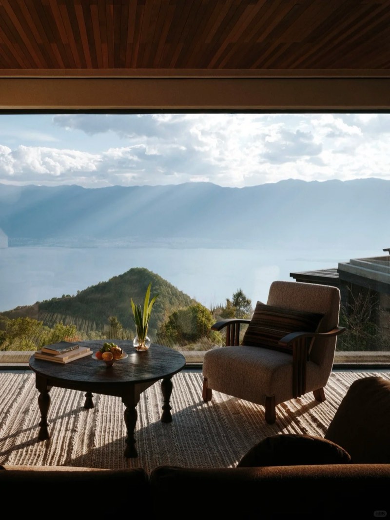
Songtsam in Shangri-La is the benchmark for boutique accommodation in the region — Tibetan architecture, serious design, and a location that puts you within striking distance of every trail on this list. For the Meili Snow Mountain treks, Songtsam Meili and Poodom Meili are the places to sleep before and after the trek — the sunrise views from both properties over Meili’s thirteen peaks are worth the trip alone.
Choose Your Trail
If you want one recommendation: start with Yubeng. It’s the trail that converts people — accessible enough for fit travellers, spectacular enough to redefine what you think hiking in China looks like, and remote enough to feel earned.
If you’ve already done Yubeng and want to go deeper: Niru for the wilderness immersion, Meili North Slope for the glacier drama, Abujicuo if you want to test yourself against the hardest day hike in the region.
If you’re not a serious hiker but want the highland experience: Bottomless Lake or Qianhu Mountain. Both are gentle, both are beautiful, and both give you the Shangri-La landscape without the altitude suffering.
Tiger Leaping Gorge is where most people start their Shangri-La hiking story. These nine trails are where the story gets interesting.
Talk to us about building a Shangri-La hiking trip →
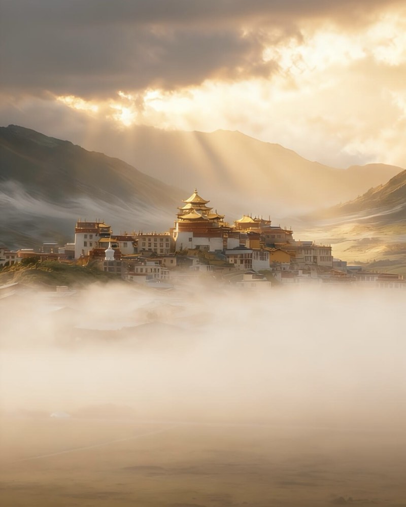
Our Dali, Lijiang & Shangri-La Hiking Tour covers 12–16 days through the Three Parallel Rivers UNESCO heartland — Tiger Leaping Gorge, Songzanlin Monastery, and the trails beyond.