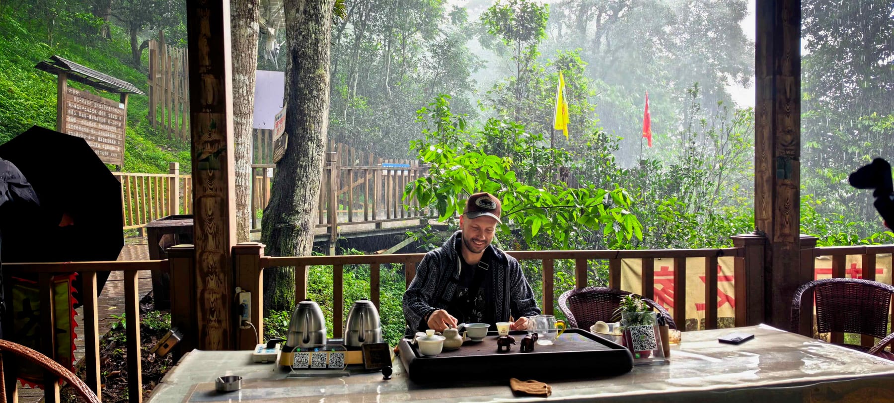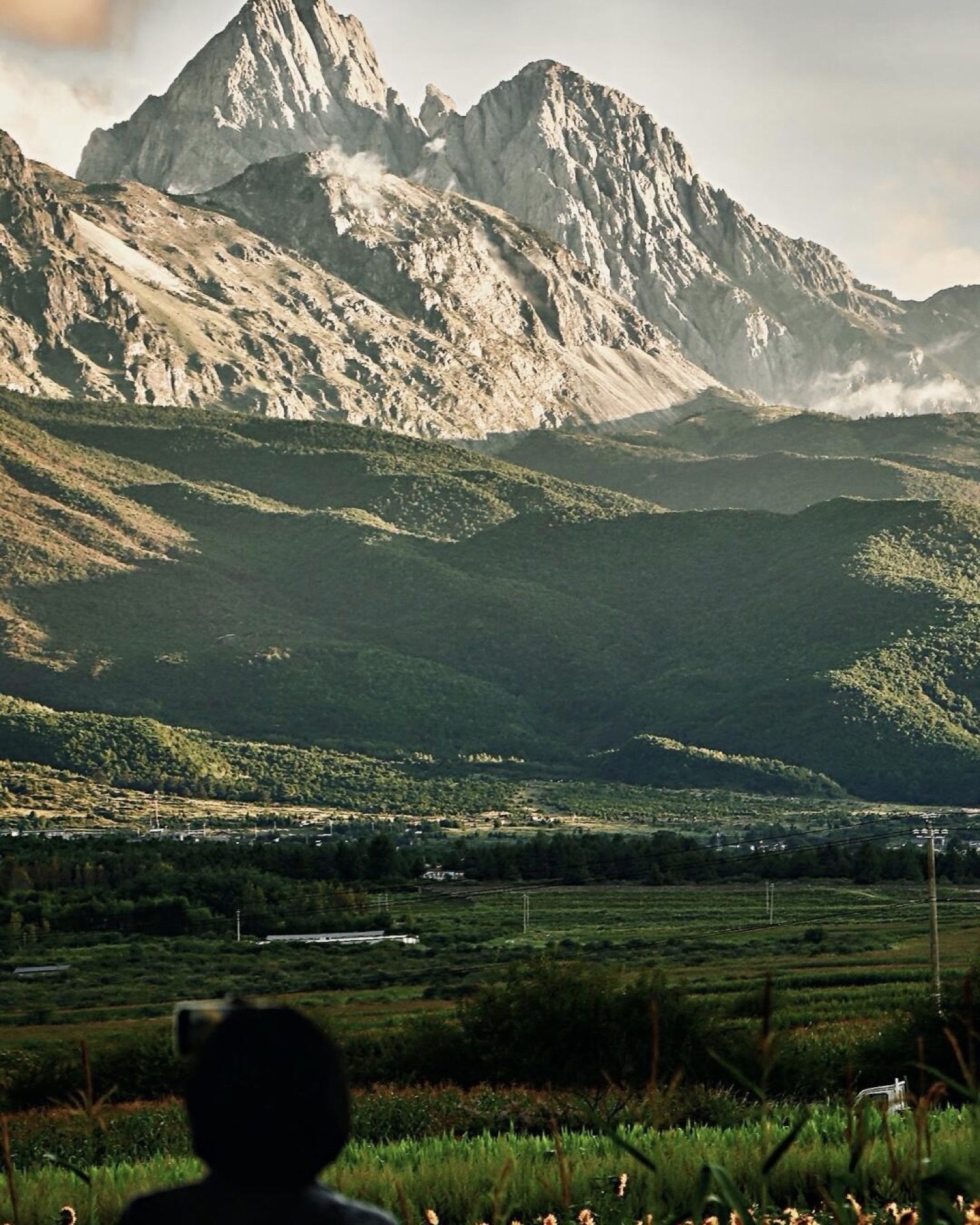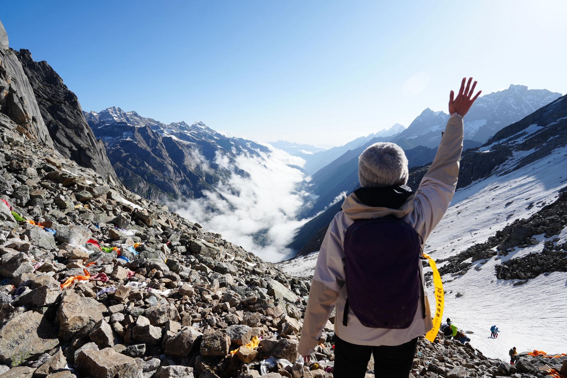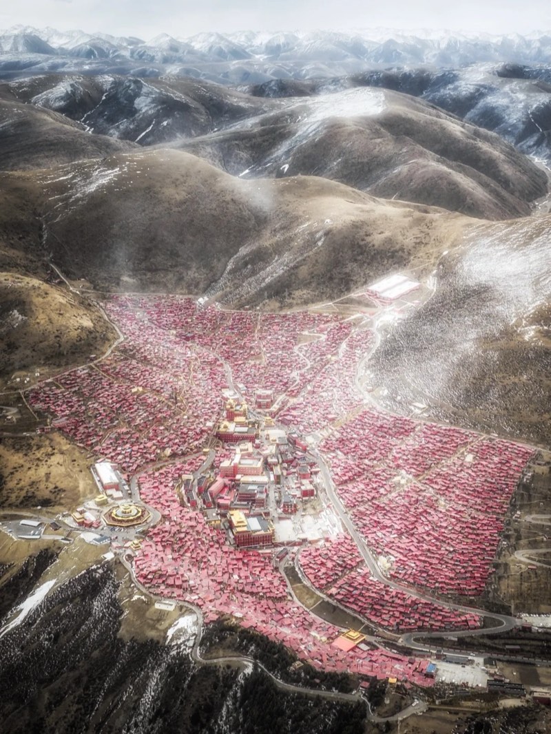
At the top of the Nujiang valley, where the road up the gorge gives out just short of Tibet, there’s a basin called Bingzhongluo (丙中洛). Within a few kilometres of each other stand a Tibetan Buddhist lamasery, a Catholic church built by a French priest who is buried beside it, and Protestant chapels where Nu and Lisu congregations sing their hymns. The county’s own description of itself puts it simply: three religions living side by side, in a place “where people and gods live together” (人神共居).
None of this happened by accident. Each faith walked into the valley at a particular moment, and most of them met trouble on the way. Here’s how they arrived, what’s left of them now, and the gorge they live in, from Laomudeng’s shelf above the river to the end of the road at Qiunatong.
When to go: October and November are the best months: the summer rains have passed, the air is clear and the roads are dry. December and January are drier still, but cold at night. March and April bring peach blossom to Bingzhongluo, but they’re also Gongshan’s wettest months — the locals call the spring rain the “peach-blossom flood” — and late May to June is when landslides most often close the roads.
| Place | What it is | Best for |
|---|---|---|
| Laomudeng 老姆登 | A Nu village on a shelf of the Biluo range, about 1,800 m | Sunsets, Sunday hymns |
| Zhiziluo 知子罗 | A former prefecture capital, evacuated in 1986 | History, the strange and the quiet |
| Stone Moon 石月亮 | A hole through the Gaoligong ridge, sacred to the Lisu | Myth and mountain views |
| Bingzhongluo 丙中洛 | The last basin before Tibet, with the Nu’s First Bend | Faiths, landscapes, peach blossom |
| Wuli 雾里 | A Nu village with no road, reached on the old Tea Horse Road | An easy, exposed walk |
| Dulongjiang 独龙江 | A side valley over the Gaoligong range, home of the Derung | The far edge of the map |
A valley between two ranges
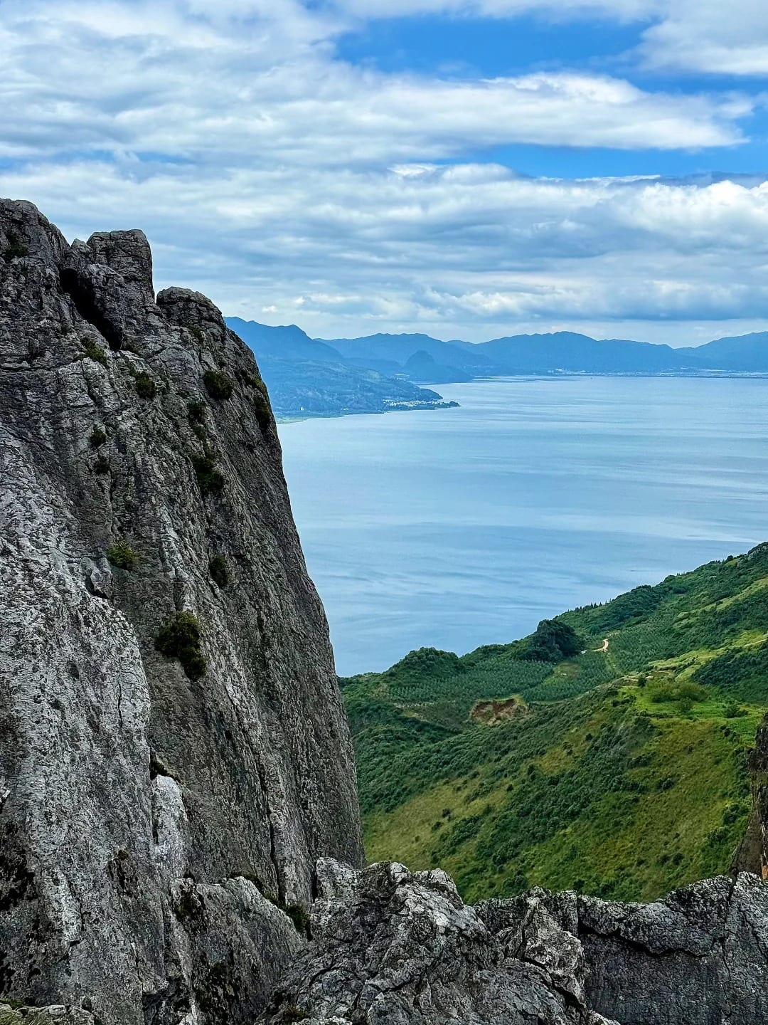
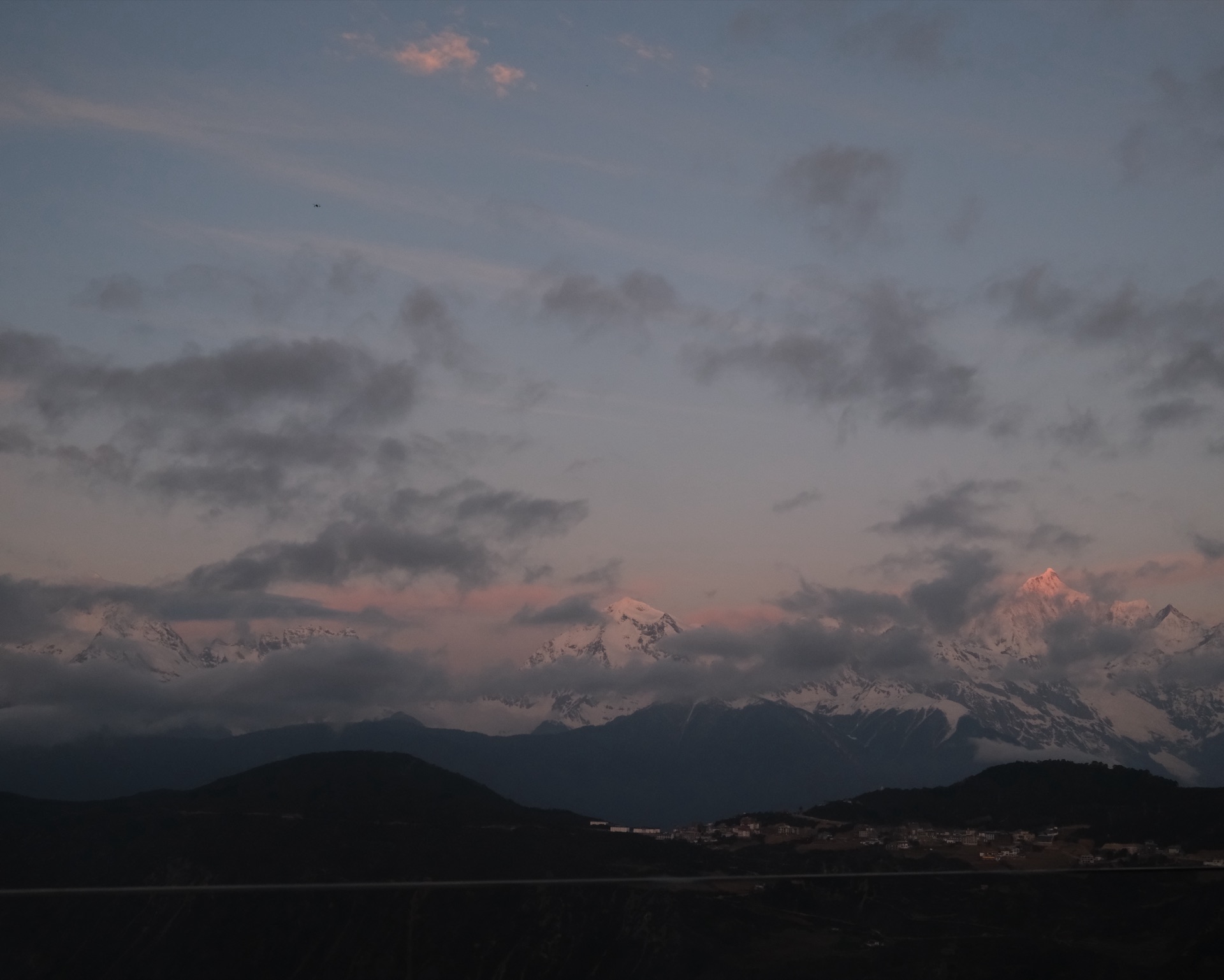
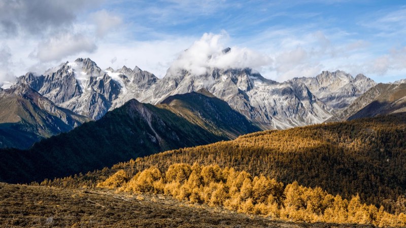
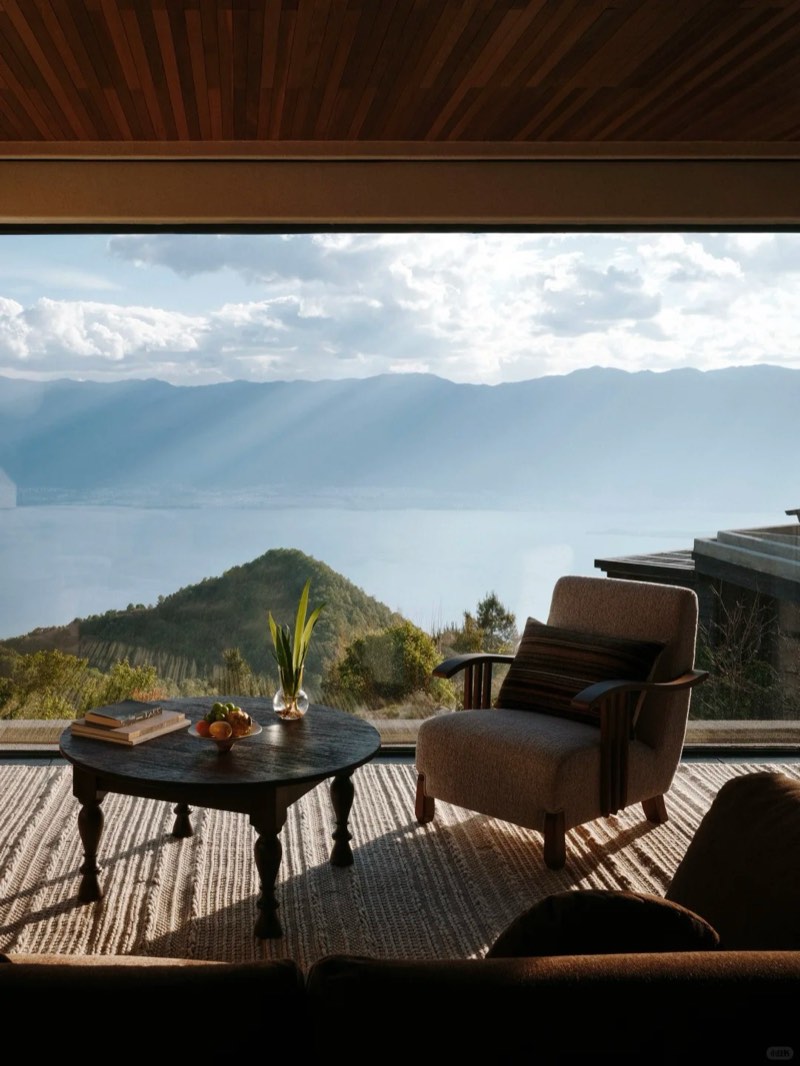
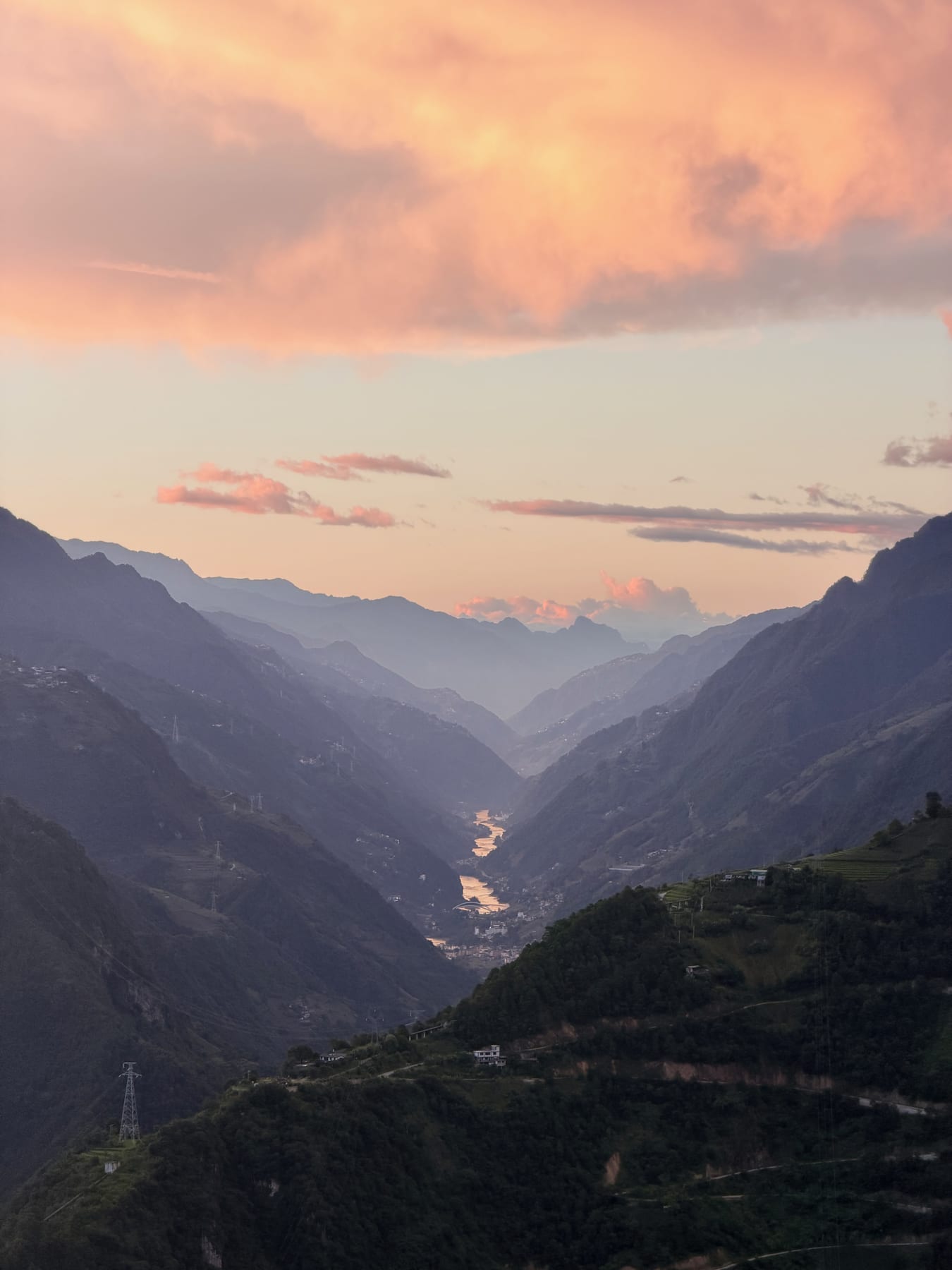
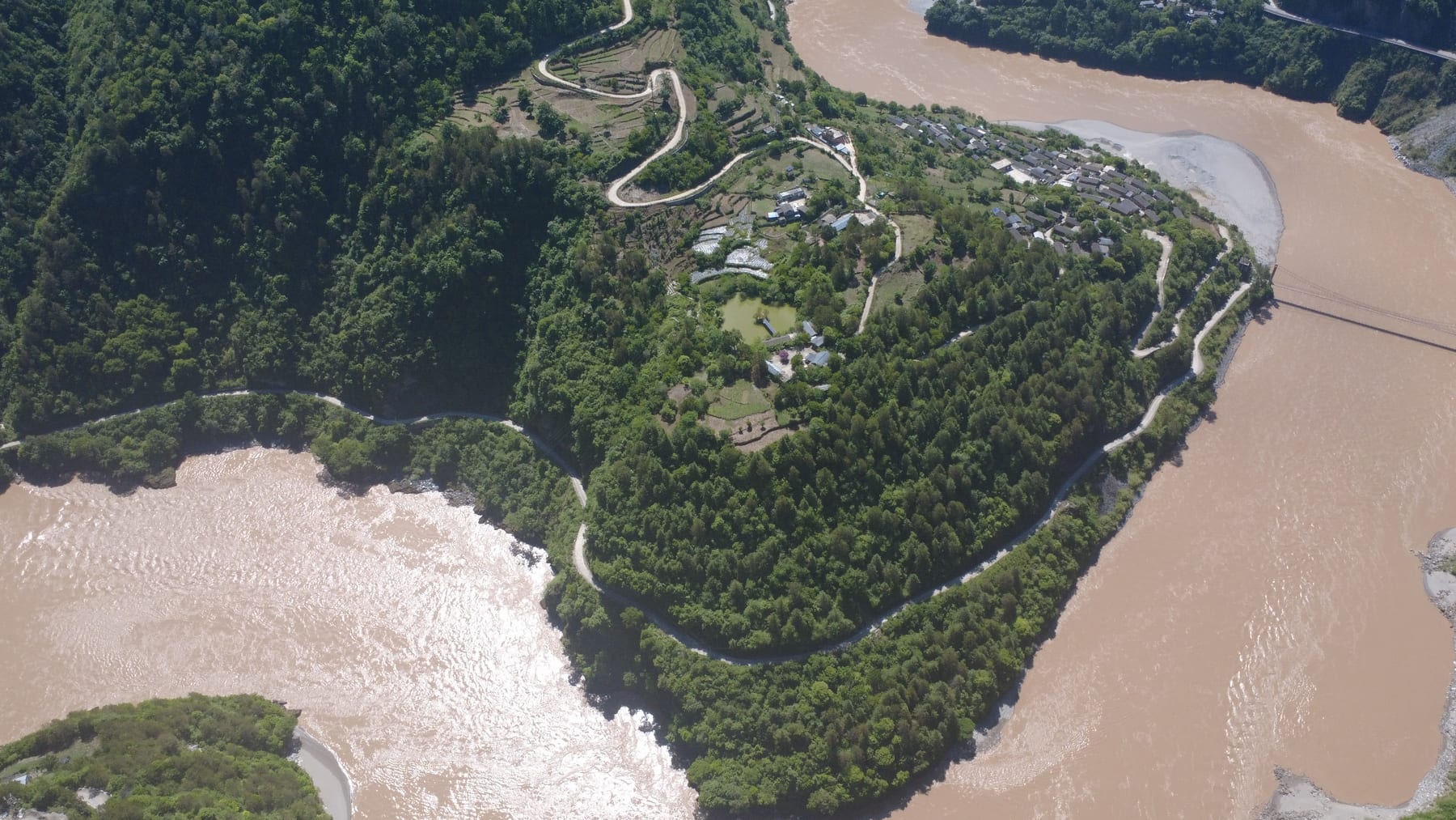
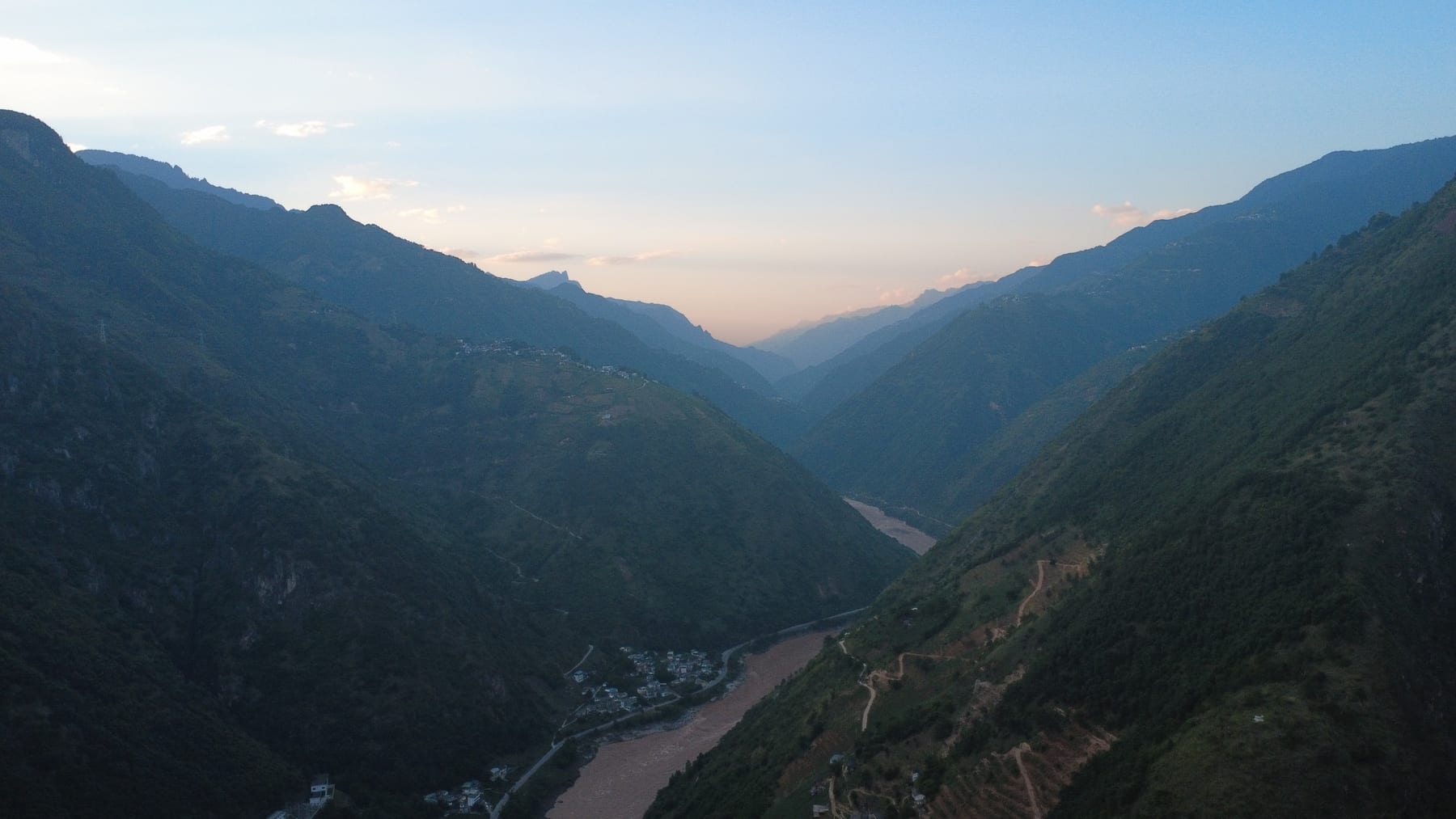
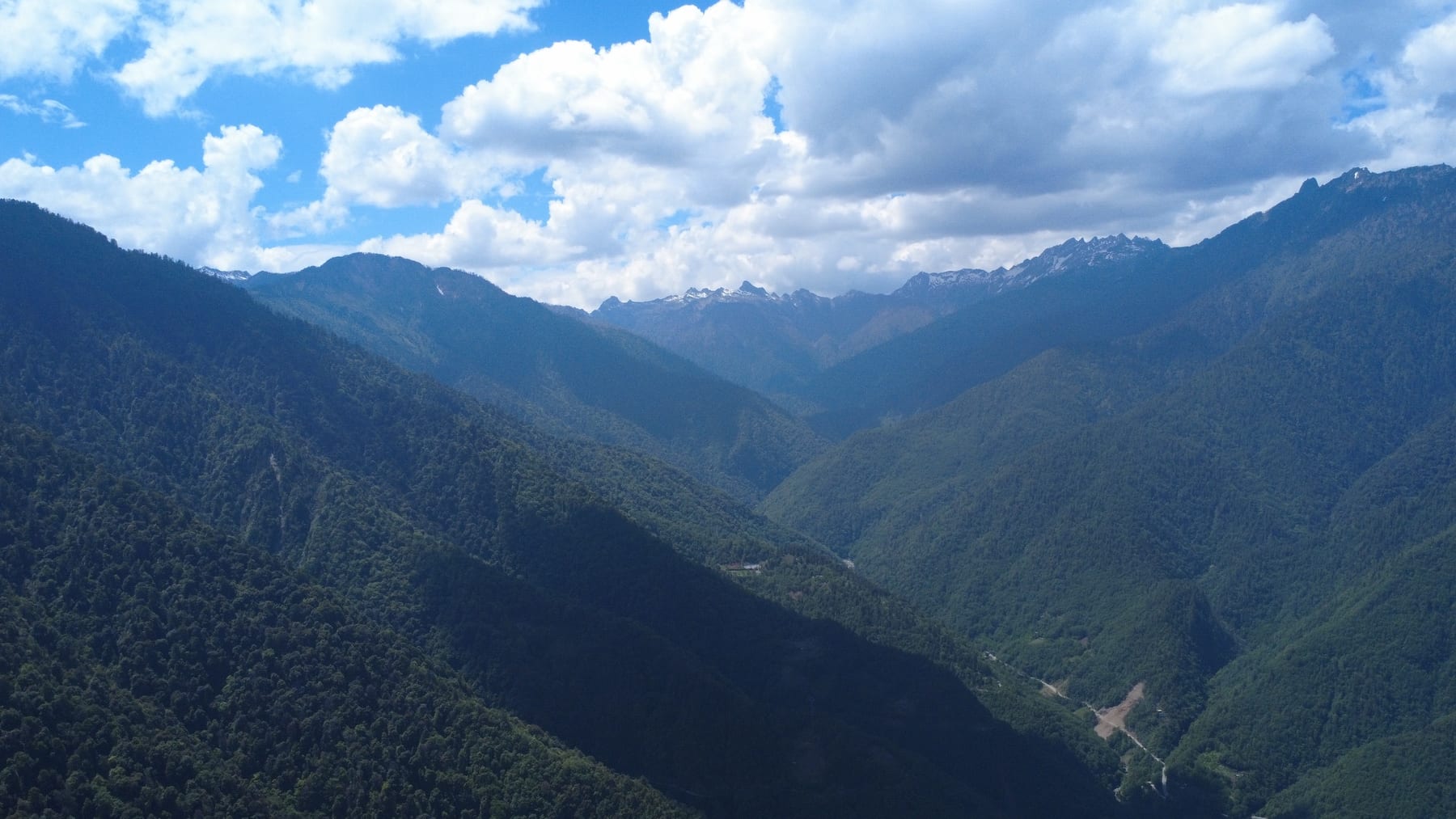
The Nu River — the Salween, by the time it reaches Myanmar — rises in Tibet and runs more than 3,000 km to the Andaman Sea, about 2,000 km of it in China. In Yunnan it is squeezed between two ranges: the Gaoligong to the west, topping out at 5,128 m in Gongshan, and the Biluo to the east. The prefecture calls the result the Grand Canyon of the East: 316 km long and, on its official figures, 2,000 m deep on average. It’s part of the Three Parallel Rivers region, the UNESCO-listed country where the Nu, the Mekong and the Yangtze run side by side through north-west Yunnan.
It’s also one of the most varied corners of China for people. Nujiang is the country’s only Lisu autonomous prefecture: about 529,000 people, just over half of them Lisu, and more than nine in ten from minority groups — Lisu, Nu, Derung, Bai, Pumi and Tibetan among them. (For the wider picture, here are the Yunnan cultures you’ll actually meet.) The Derung, who number 7,310 nationally, live mostly in their own valley at the prefecture’s north-west corner.
How the faiths arrived
The lamasery
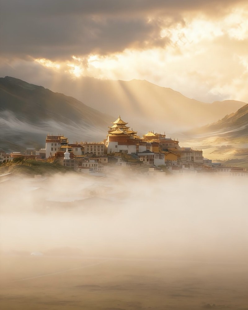
Tibetan Buddhism came first, with Tibetan settlers in the 1770s. Their first temple was a thatched building, rebuilt in tile and timber in 1783 and later enlarged and renamed Puhua Si (普化寺). It still stands in Dongfeng, Bingzhongluo’s Tibetan hamlet.
The lamasery has an odd footnote in Christian history. In 1854 a French priest of the Paris Foreign Missions, Charles Renou, stayed at the lamasery of “Tchamoutong” — the old name for this part of the valley, so very probably this one — on his way to found the first post of the Catholic mission to Tibet. Eleven years later, when that mission was driven out, one of its priests took refuge with the same lama. The lamasery has not had a quiet life since: its steward led the attack on the valley’s mission church in 1905, and by the explorer Joseph Rock’s account, Qing soldiers razed it in reprisal.
The French priests
Renou’s mission was at Bonga, just inside Tibet, where he took possession of rented land on 3 December 1854. By 1865 it had an outpost on the Yunnan side at Qiunatong (秋那桶), the last village before the border. That September, both were attacked. Père Gabriel Durand was shot on the rope bridge at Qiunatong and drowned in the Salween. The survivors, about 80 Christians led by Alexandre Biet, crossed the mountains to the Mekong and started again at Cigu, near Cizhong, where their Sacred Heart church stood from about 1879 until it was burned in July 1905.
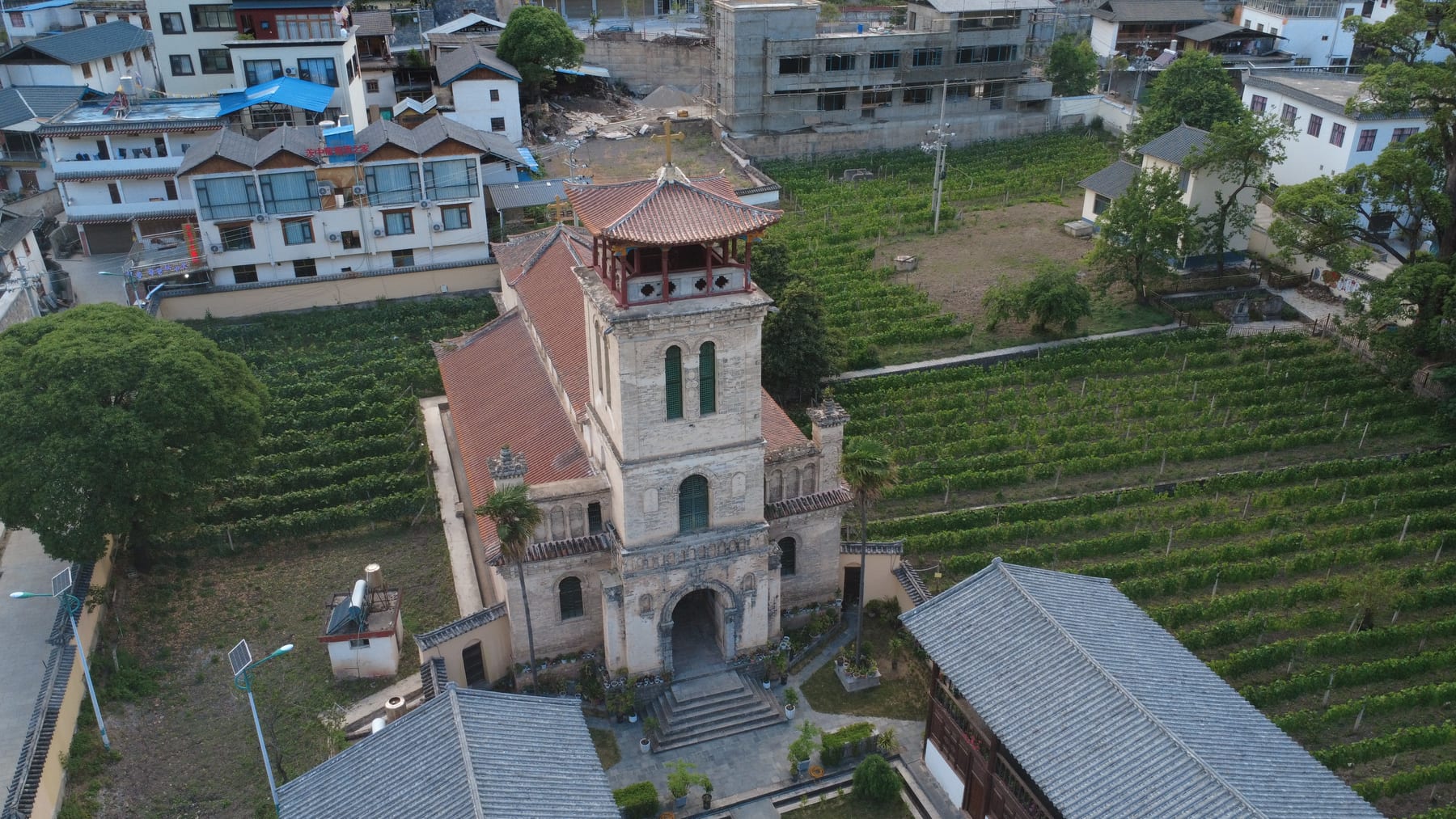
The Nu valley’s Catholic story belongs to one man: Annet Genestier (任安守), born in 1858. He founded the church at Baihanluo, in the Dimaluo side valley, around 1898; it was burned in the 1905 uprising and rebuilt in 1908. He then revived the old station at Qiunatong, and in his seventies began a large Sacred Heart church at Chongding (重丁), on the Bingzhongluo plain, finished around 1935. The plant hunter Frank Kingdon-Ward stayed with him in 1913. Genestier died at Chongding on 9 January 1937 and, at his own request, was buried in the shadow of his church. The church was destroyed in the Cultural Revolution and rebuilt in 1996, and his grave lies beside it.
The hymn-singers
Protestantism came last, and from the south. The English missionary James O. Fraser reached Tengchong in 1910, and with the Karen evangelist Ba Thaw he worked out an alphabet for Lisu in the 1910s. The Lisu New Testament was printed in 1938, the year Fraser died. American missions reached the Nu valley around 1930 — Pentecostals at Shangpa, today’s Fugong, and Russell Morse’s mission in Gongshan — and the faith spread fast. Today a large majority of Nujiang’s Lisu are Christian.
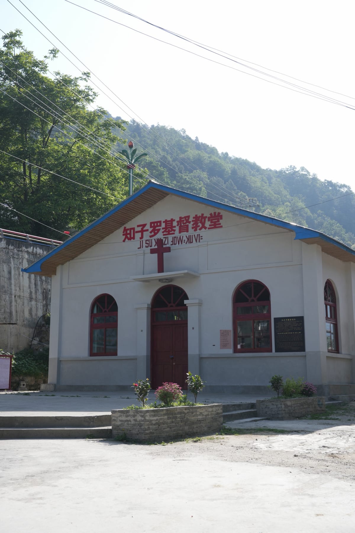
You’ll see the Fraser alphabet painted over church doors all the way up the valley. And you’ll hear the singing. On a Sunday, congregations sing Lisu hymns unaccompanied, in four-part harmony, a tradition that has outlasted the missionaries by seventy years.
And the older gods
Underneath it all are the Nu and Lisu peoples’ own beliefs about mountains, water and spirits. The Lisu name for the Stone Moon, a hole through the Gaoligong ridge, is Yahaba, and in their flood story a hero’s arrow pierced the mountain to drain the waters. The Nu Fairy Festival, now on China’s national intangible heritage list, has been absorbed into Bingzhongluo’s Buddhist calendar too. In a valley this small, nobody has ever had the luxury of keeping to themselves.
Up the valley, south to north
Laomudeng & Zhiziluo
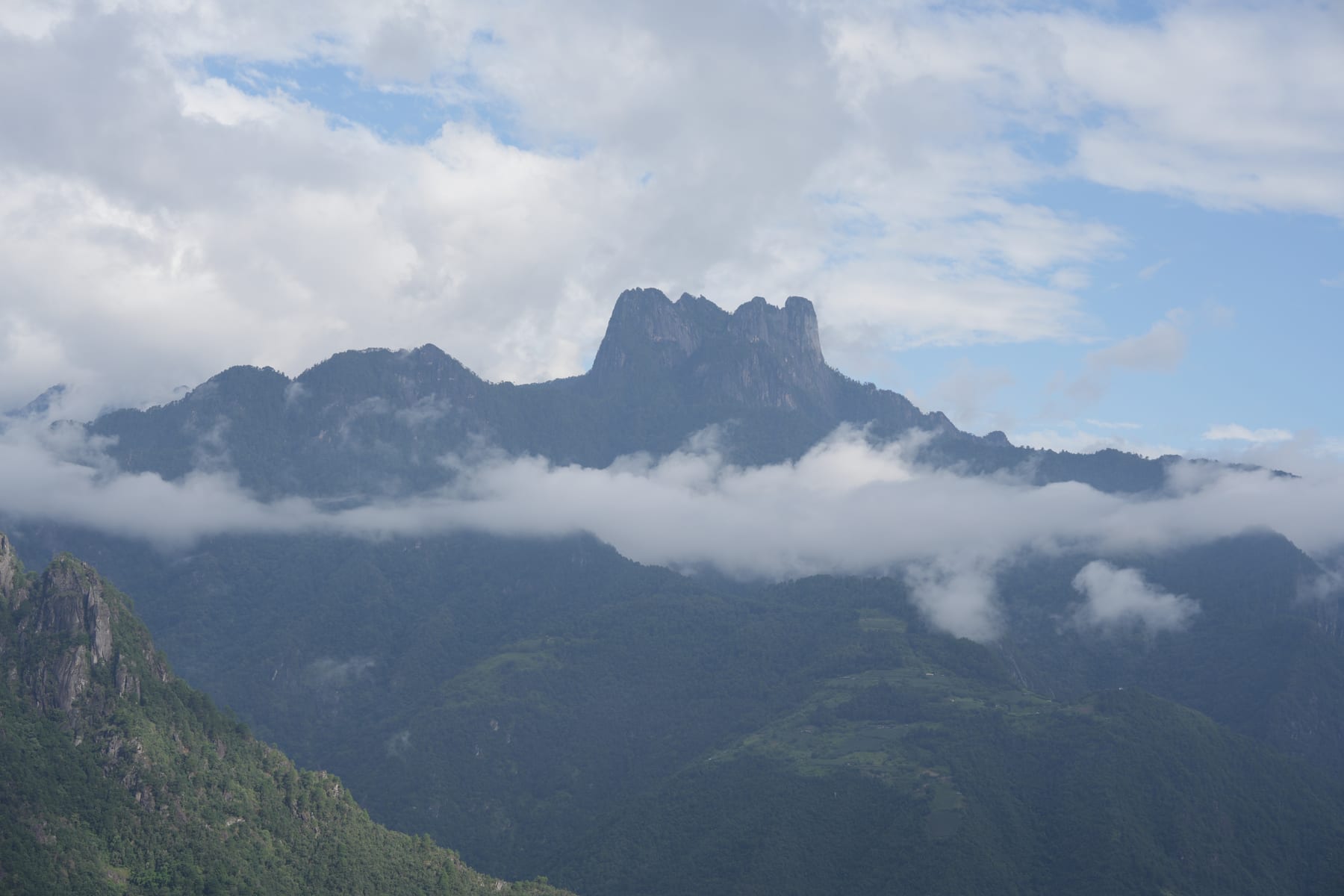
Halfway up the gorge, in Fugong county, Laomudeng (老姆登) sits on a shelf of the Biluo range about 1,800 m up, with the whole valley falling away below it. It’s a Nu village, and its name means “a place people like to come to”. Across the gorge, on the Gaoligong side, rises the rock crown the Chinese call Huangguan Shan. Its church was founded around 1930, pulled down in the late 1950s and rebuilt in the early 1980s; it’s the place to hear the Sunday hymns.
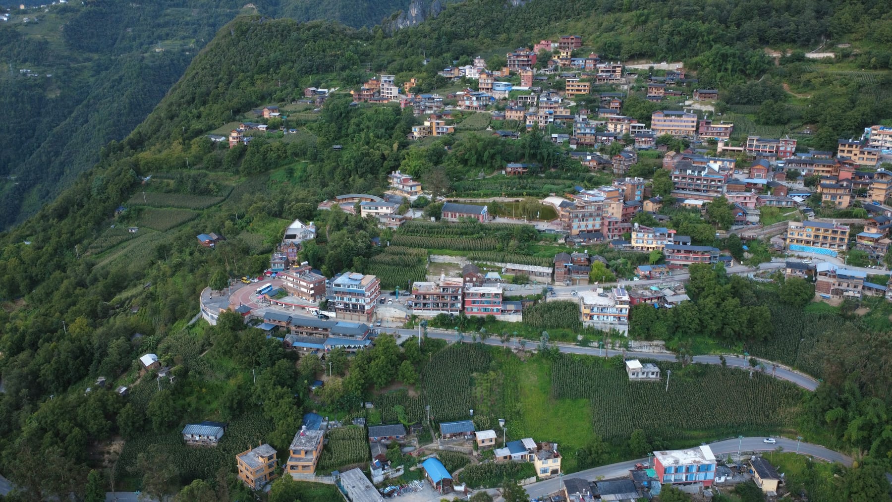
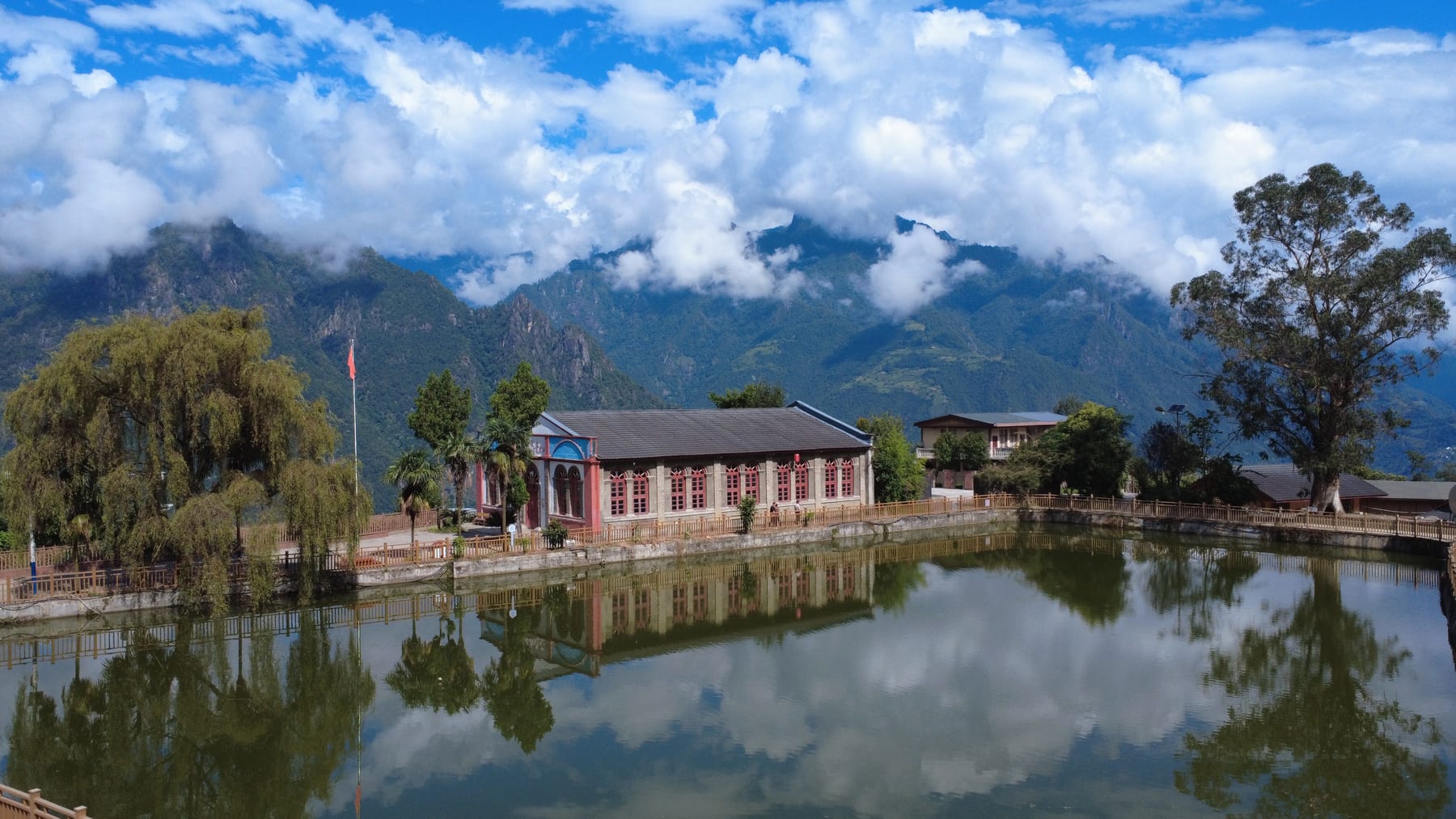
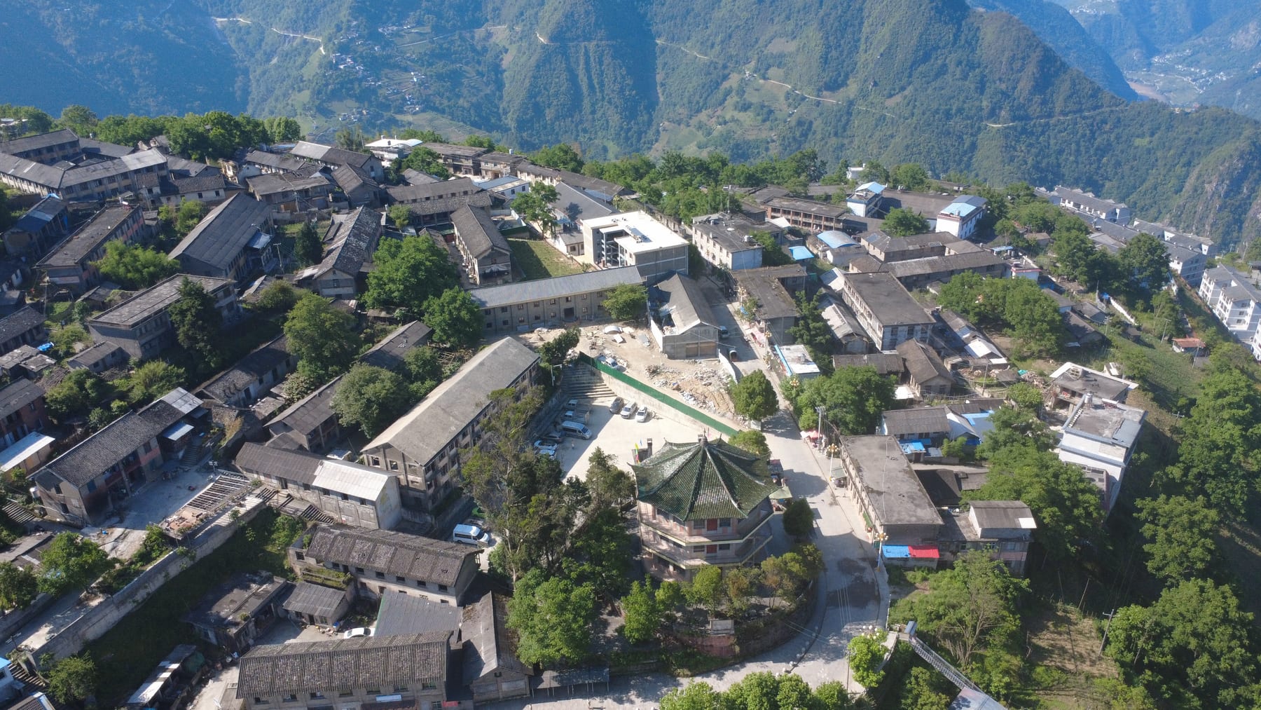
A short way along the ridge is Zhiziluo (知子罗), at 2,023 m, one of the strangest places in Yunnan. It was Nujiang’s first prefecture capital, from 1954 until the government moved down to Liuku in 1974, and then the seat of Bijiang county. In 1986 geologists judged the town to be sitting on a giant landslide, and the State Council abolished the county. The offices, the bookshop and the bank emptied. The landslide never came. About a thousand people still live among the old government buildings, the Octagonal Tower is now a Nu ethnic museum, and the church is still in use.
Stone Moon & the long drive north
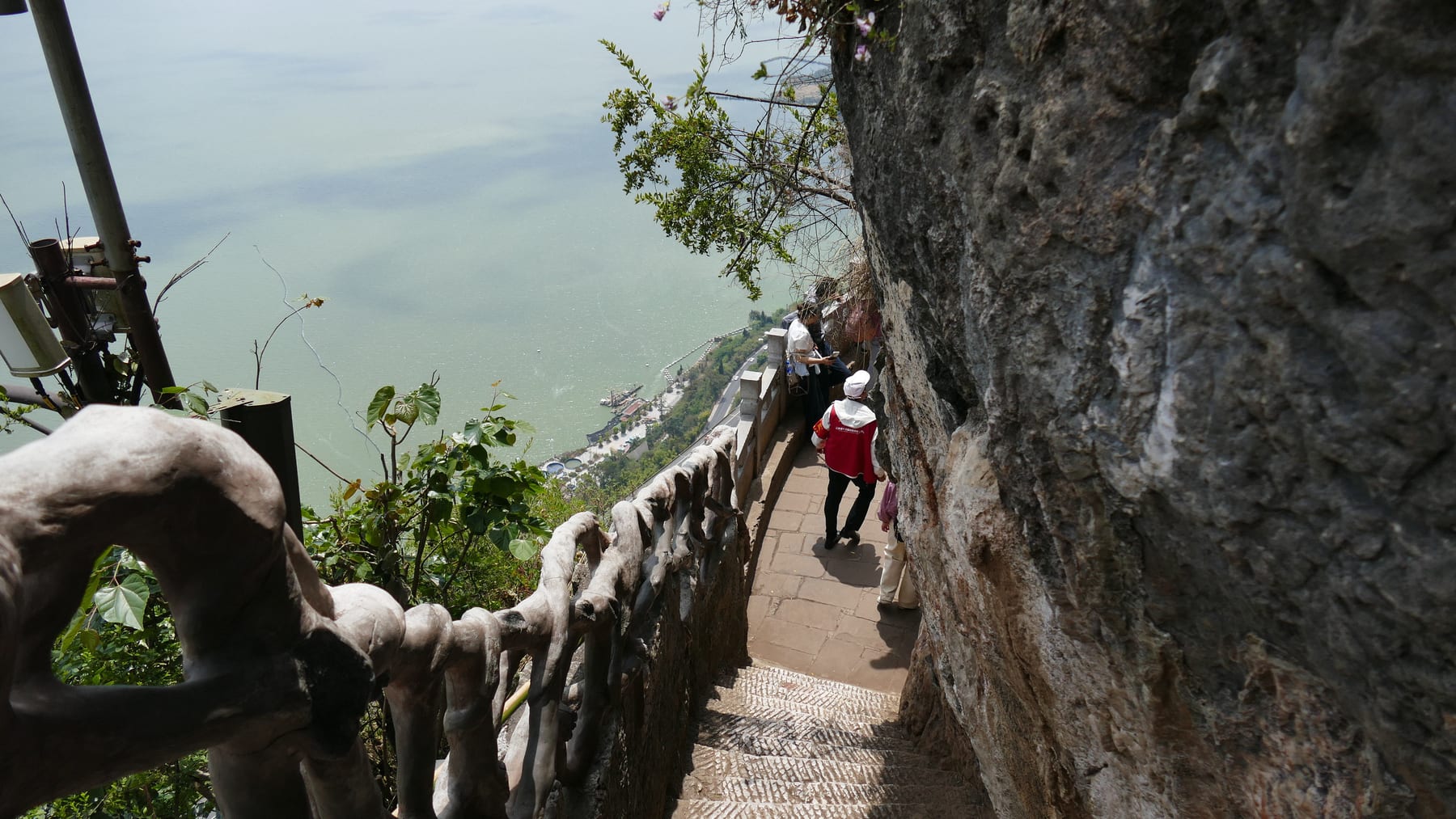
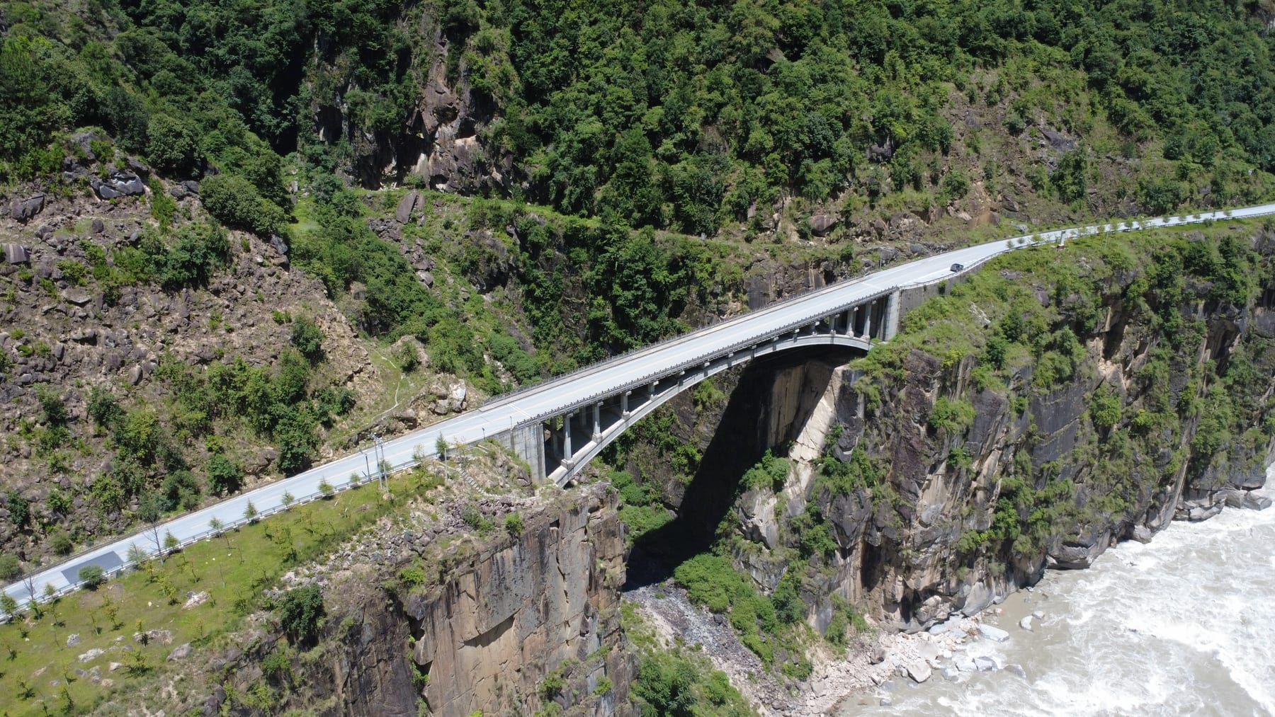
In northern Fugong county, the Stone Moon (石月亮) is a hole roughly 60 m high punched clean through the Gaoligong ridge at about 3,300 m. A cable car began trial runs up to it in December 2025; before that, it was a six-hour hike. The rest of the drive north is on the Nujiang Beautiful Highway, the rebuilt G219 that opened along the valley floor in December 2019: 288 km of river, suspension bridges and villages stacked up the slopes, from Liuku to Bingzhongluo.
Bingzhongluo & the First Bend
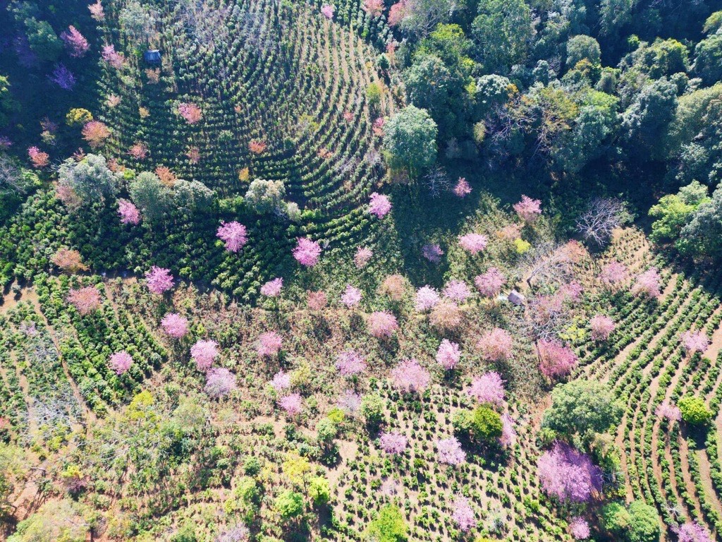
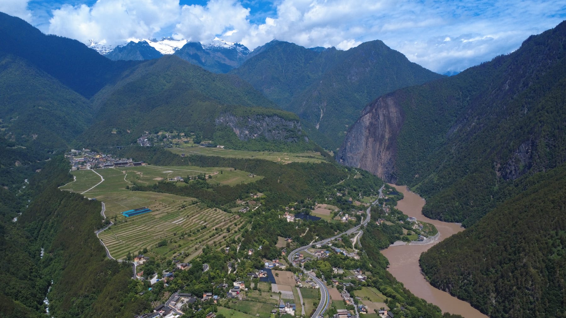
Bingzhongluo sits at about 1,750 m, the last basin of farmland before Tibet, with snow peaks behind it. Four kilometres south of town is the Nu River First Bend (怒江第一湾), where a cliff forces the river into a tight loop around a peninsula of fields. In March and April, peach blossom lines the river terraces.
Wuli & the Tea Horse Road
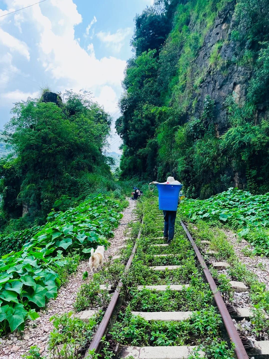
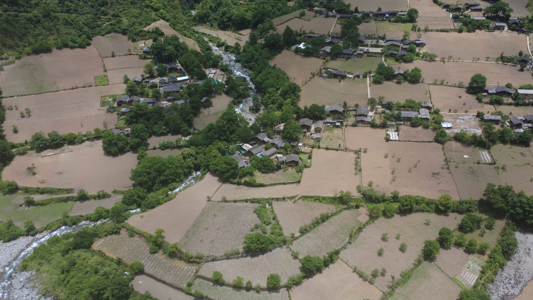
North of town the gorge closes into Shimenguan (石门关), the Stone Gate, and on the far bank is Wuli (雾里), a Nu village of about sixty households with no road at all. You reach it by suspension bridge, or on foot along the old Tea Horse Road: about 1.5 km of path cut into the riverside cliff, exposed but easy for anyone happy with a drop beside them.
Beyond Wuli the road runs on to Qiunatong, the last village before the Tibet border, where Genestier revived the Catholic station in about 1909 and there is still a church. North of Qiunatong the road continues into Tibet, but that stretch isn’t an option for foreign travellers. For us, this is the end of the road.
Over the mountains: Cizhong & Dulongjiang
Two side trips leave the valley over the mountains. East, the Degong road crosses the Biluo range to the Mekong and Cizhong, downriver from Meili and Deqin, where the French mission moved after 1905; its Romanesque church was blessed in January 1911 and is now a national heritage site. Since late 2022 the road has gone through a 2.5 km tunnel under Peacock Mountain at about 3,400 m, but it still closes for snow and ice in winter and spring, and the mountain itself has been closed to tourism since October 2025.
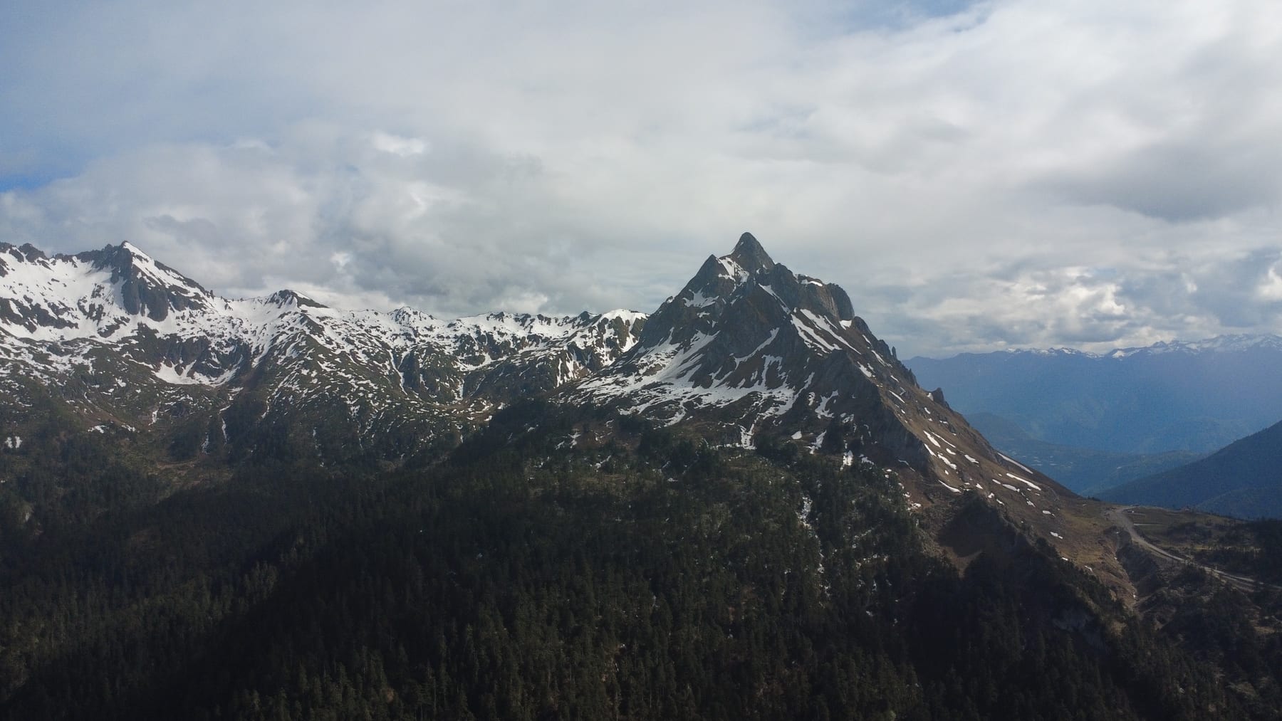
West, a road from Gongshan crosses the Gaoligong to Dulongjiang, the valley of the Derung. Until 2015 it was cut off by snow for half of every year; then a 6.68 km tunnel, holed through in April 2014, opened with the rebuilt road in late 2015. The Derung custom of tattooing women’s faces faded out in the 1960s, and about ten tattooed women are still alive. If you meet one, treat it as an introduction, not a photo stop.
Before you go
- Papers. Passports are checked on the way into Nujiang. Dulongjiang is a frontier township, and China’s border-area permit rules changed in April 2026, so we confirm the current requirements with the Gongshan police before each trip.
- Roads. The G219 up the valley is a good road. Landslides can close it, most often from late May to June, and the passes over the Biluo and Gaoligong can close for snow, so build in a spare day.
- Churches and temples. Sunday services welcome visitors; sit at the back, and ask before photographing anyone. The same goes for Puhua’s monks and Dulongjiang’s elders.
- Altitude. Not an issue: every night in the valley is below about 2,000 m, and Bingzhongluo is at 1,750 m.
- A guide. Signs are in Chinese, Lisu and sometimes Tibetan, the stories are in nobody’s guidebook, and the roads change with the weather. Here’s what a private guide actually does.
How to see Nujiang
- The Missionary Road, nine days: our Nujiang small-group tour with Little Chinese Everywhere starts from Baoshan, climbs the valley to Laomudeng, Zhiziluo and Bingzhongluo, then crosses to Cizhong and the Mekong before finishing in Lijiang. The next departure is 19–27 November 2027.
- All three rivers, privately: China’s Last Frontier, 12 to 14 days, comes in from Shangri-La and Meili over the mountains to Bingzhongluo, then follows the Nu all the way down to Lushui.
- Just the valley: a private trip from Baoshan, starting with a night among the coffee farms at Huke Coffee Manor in Lujiangba before heading up the gorge.
Read more about the region on our Nujiang destination page, or tell us your dates and we’ll build the valley around them.
Photos: Boutique China.